Halgurd Travel Guide: High-Mountain Planning in the Zagros
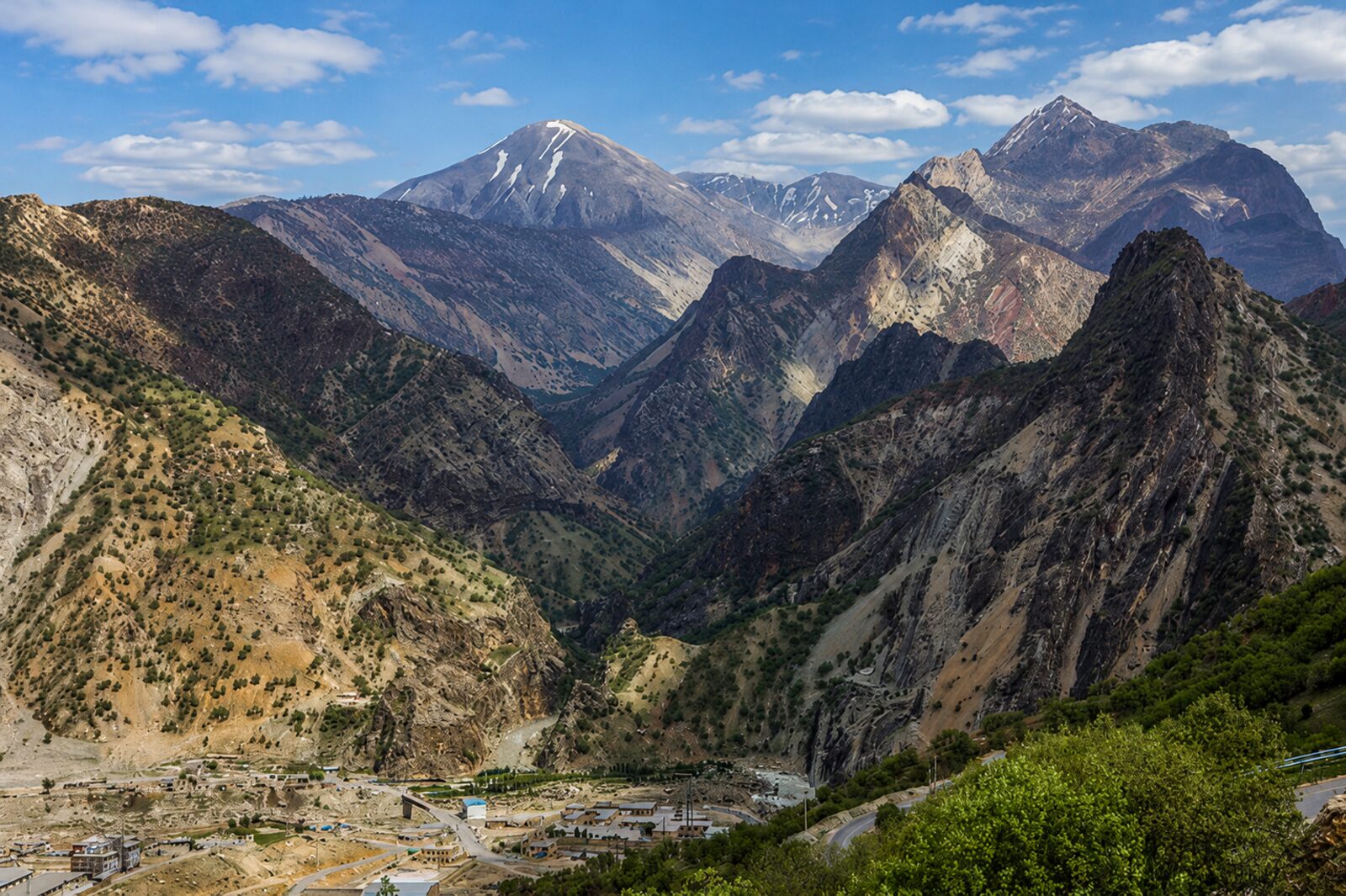
Halgurd is for travellers who want the high Zagros rather than a simple viewpoint. The mountain landscape around Halgurd and Choman can be spectacular, but altitude, weather, remoteness and border-sensitive terrain make preparation essential. This guide is about deciding whether the outing fits your experience and how to plan it responsibly — not about promising a route, summit or current access.
Is Halgurd right for your trip?
Halgurd belongs in a longer mountain itinerary for experienced hikers, photographers and travellers prepared for a simple, condition-dependent outing. It is not the best choice for a first mountain walk, a tight airport schedule or a visitor who wants marked facilities at every stage. The surrounding high country can be reached from the Soran and Rawanduz corridor, but the final route depends on local conditions and permissions.
Use a local guide or an experienced mountain driver who understands the current approach. Ask about the exact trailhead, land access, weather, water, daylight, communication and whether any route approaches a restricted or border-sensitive area. If the answers are uncertain, choose Rawanduz Canyon, Korek or another established outing instead.
- Plan for altitude, cold wind and rapid weather changes even outside winter.
- Carry navigation backup, water, food, warm layers, sun protection and a charged phone.
- Tell your accommodation or a trusted contact where you are going and when you expect to return.
Seasons and mountain conditions
Late spring through autumn can offer more accessible walking conditions, but rain, cloud and early snow can still change the plan. Winter brings a serious cold-weather environment with snow, ice, shorter daylight and potentially blocked approaches. A weather forecast for Erbil is not enough; check the high mountain forecast and ask locally on the day.
Do not confuse a clear photograph from one month with a standing promise of access. Snowfields, scree, river crossings and trail conditions change. Turn back when visibility, footing or daylight becomes unsuitable. A successful mountain day is one that returns you safely, not one that reaches a predetermined point.
Access from the Soran corridor
Most visitors use Soran or Rawanduz as a logistics base, arranging a vehicle for the approach and carrying only a day pack or camping equipment as appropriate. The road from Erbil is itself a major journey, so allow several nights in the area rather than treating Halgurd as a rushed day trip from the airport.
A capable vehicle matters on rough or steep approaches, and a driver should know where it is appropriate to stop. Keep vehicle and walking plans separate: confirm whether the driver waits, returns at a set time or can respond if the route changes. Mobile coverage may be patchy in valleys and on ridges.
Leave no trace and respect local context
High mountain landscapes are shared with communities, shepherds and wildlife. Stay on routes your guide recommends, close gates, keep noise down, take all waste out and do not collect plants, stones or archaeological material. Ask before photographing people or homes, and never cross a boundary simply because a trail appears open.
Halgurd's precise access, seasonal conditions, routes and any local restrictions are subject to change. Verify them with a capable local source immediately before travel. VisitKurdistan.com is an independent guide; it cannot grant permission or substitute for current mountain advice.
Keep planning
VisitKurdistan.com is an independent guide. Please verify current details with official sources, local hosts and organisers before making a journey.